Snow forecast for Melbourne & Sydney in May
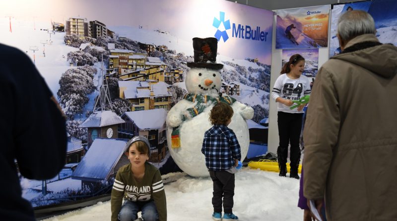
Real snow, all the latest gear for the 2018 season and 70 international ski resorts deliver an early taste of winter in downtown Sydney and Melbourne this month when the Snow Travel Expo rolls into town.
It’s a fun and entertaining Sunday for the whole family explains Event Director Melinda Mak, “we describe it as your ticket to a world of inspiration and information. You can literally travel a whole world of ski destinations in one day and explore resorts across USA, Japan, Korea, Canada, Europe, India, South America and of course closer to home with Australia and New Zealand.”
Read more