
| NEW SOUTH WALES | |||
| Snow forecast | 5 Days | 10 Days | 15 Days |
| Perisher | 10-28cm | 10-28cm | 10-31cm |
| Thredbo | 10-28cm | 10-28cm | 10-31cm |
| Charlotte Pass | 10-28cm | 10-28cm | 10-31cm |
| Selwyn | 1-5cm | 1-5cm | 1-5cm |
| VICTORIA | |||
| Snow forecast | 5 Days | 10 Days | 15 Days |
| Falls Creek | 10-29cm | 10-29cm | 10-31cm |
| Mt Hotham | 10-29cm | 10-29cm | 10-31cm |
| Mt Buller | 7-17cm | 7-17cm | 7-17cm |
| Mt Baw Baw | 7-18cm | 7-18cm | 7-18cm |
Please note: the 10-15 day readings are more likely to change due to the longer range timeframe.

Warm, wet and windy again yesterday and overnight in the mountains. Light scattered showers and strong winds today before an intense fast moving storm front moves across the mountains overnight bringing heavy rain with possible flash flooding, and winds reaching well over 100km/h about the peaks (possibly around 120km/h).
By sunrise, it will be a sorry sight in the mountains, the absolute low of lows for Season 2026.
Thursday morning will see a bit of a break in the weather although winds will still be very strong, and hopefully it helps dry things about a bit before the next moisture band arrives later in the day and overnight. Hopefully we see temps drop overnight and some snow falling up top. Winds overnight will again reach well over the 100km/h mark with possible blizzard conditions about the peaks. The sooner the temp drops to zero or below the more snow we will see from this system. If it hangs around +1C for most of the night, then we won't see much by morning.
Temps should drop a little Friday with light snowfalls likely (still a little unsure as to how low it will reach, not thinking very low at the moment).
Saturday winds should ease off and we could see some snow flurries at times, mostly in the south and not enough to really add to the cover. By Sunday morning we may see some of the snow guns firing.
Next week is looking mostly fine with light winds, cooler night for the snow guns to get firing. Hopefully we see more lifts opening, if not over the weekend, then early next week.
One thing we need to take into consideration is that we will have snow falling later this week, but it will be landing on very wet and warm ground. It will take some time for it to start to settle, meaning we actually lose a bit of the snow that falls first up. Add to that winds up around 100km/h and a lot of it blows away in the exposed areas. I hate to put a downer on things, but just because say 20cm falls, it doesn't mean we have a 20cm cover.
Long range I'm not seeing any great shift that will bring consistent snowfalls. Possible light snow around the 14th/15th but this doesn't look to be much if anything.
Maybe around the 17th-18th for a cooler system to arrive. Everything before that looks a litte warm or a bit too far south for the resorts. The high pressure systems are still far too dominant across the southern hemisphere.
Pete 'The Frog' Taylor
....
If publishing any of the above forecast outlook please quote Snowatch.com.au as the source.

| JULY | ||||||
| SUN | MON | TUE | WED | THU | FRI | SAT |
| 1 | 2 | 3 | 4 | |||
| 5 | 6 | 7 | 8 | 9 | 10 | 11 |
| 12 | 13 | 14 | 15 | 16 | 17 | 18 |
| 19 | 20 | 21 | 22 | 23 | 24 | 25 |
| 26 | 27 | 28 | 29 | 30 | 31 | |
| AUGUST | ||||||
| SUN | MON | TUE | WED | THU | FRI | SAT |
| 1 | ||||||
| 2 | 3 | 4 | 5 | 6 | 7 | 8 |
| 9 | 10 | 11 | 12 | 13 | 14 | 15 |
| 16 | 17 | 18 | 19 | 20 | 21 | 22 |
| 23 | 24 | 25 | 26 | 27 | 28 | 29 |
| 30 | 31 | |||||
| No Snow | Light Snow | Heavy Snow |
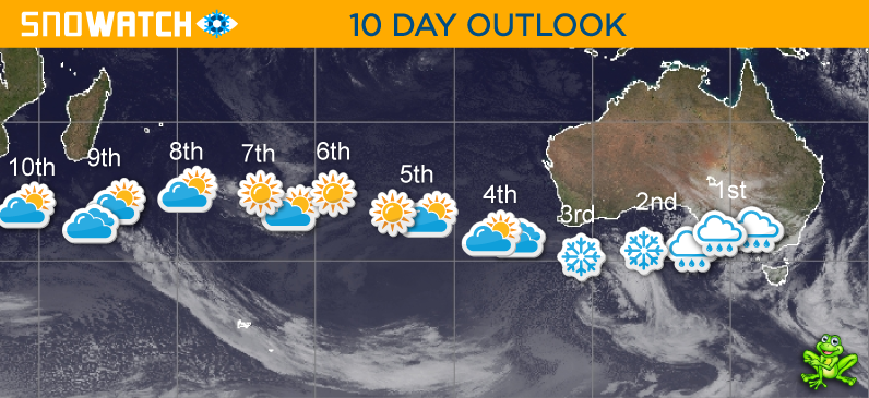
Click here for the 15 Day Forecasts
CLUB MED – The Ultimate All Inclusive* Snow Resorts
*All inclusive includes food, drinks (beer, wine, soft drinks, cocktails and most spirits), lift passes and group lessons.
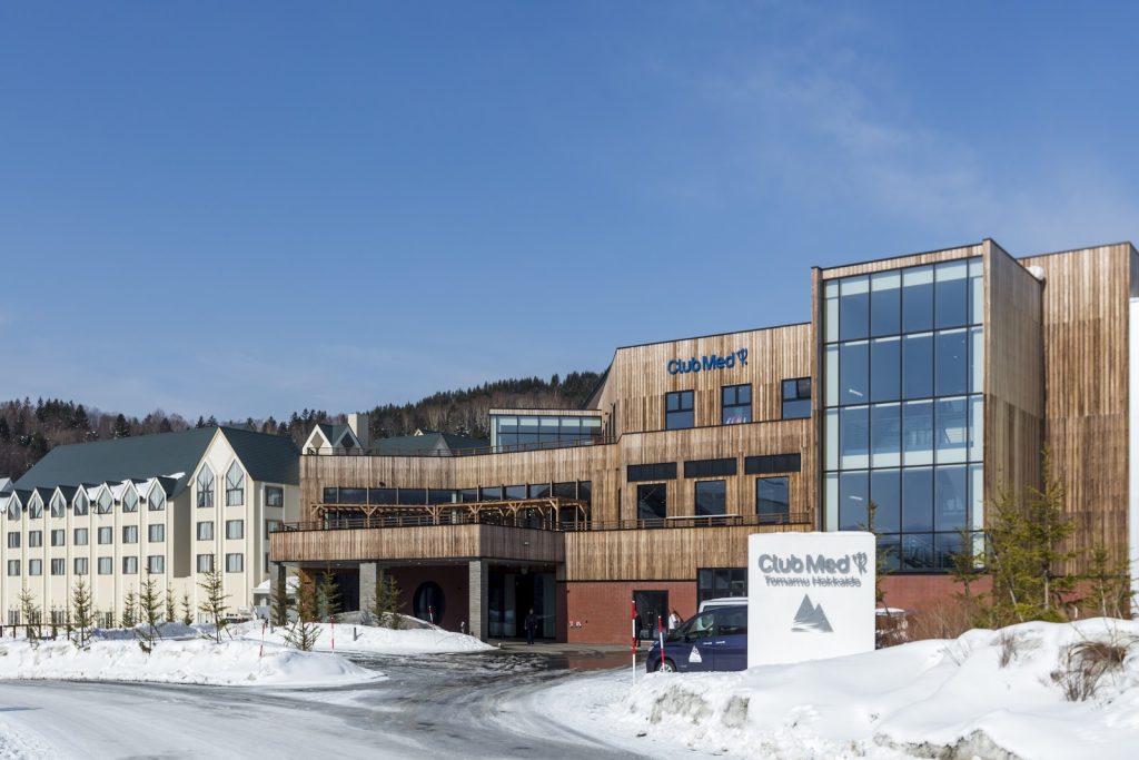
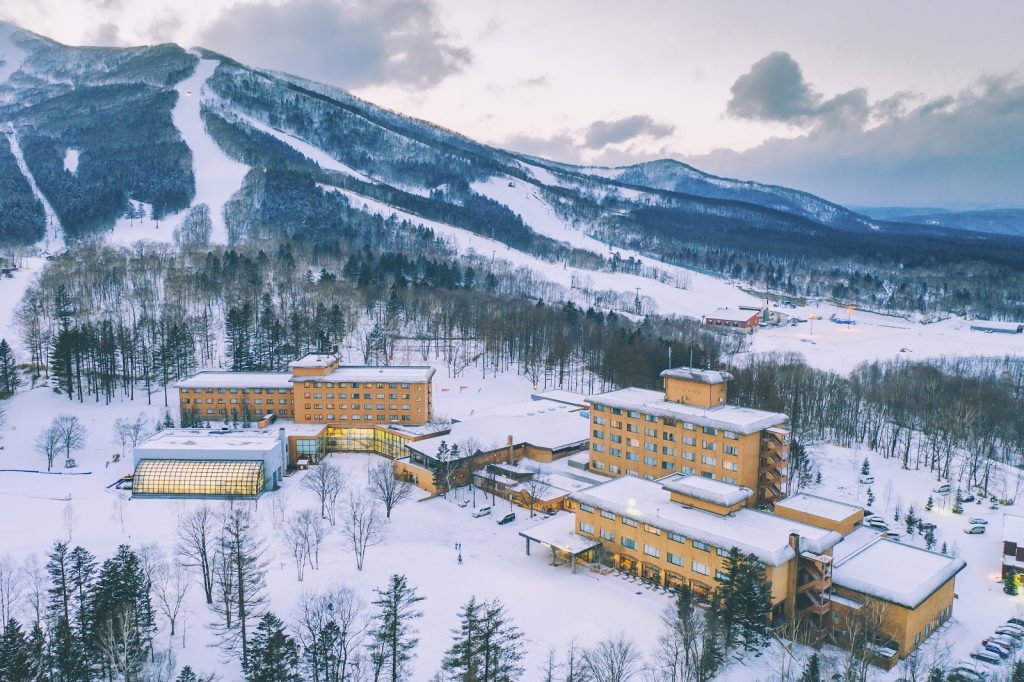
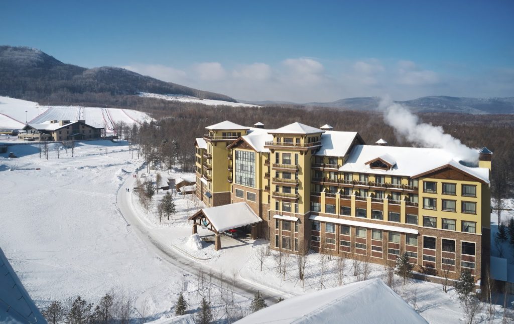
Tomamu – JAPAN
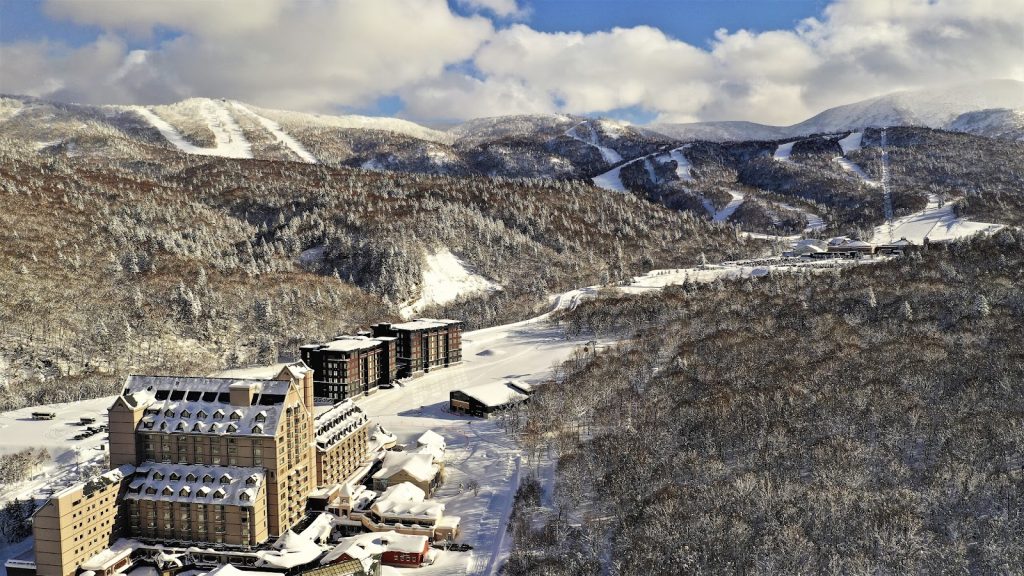
Kiroro Grand – JAPAN
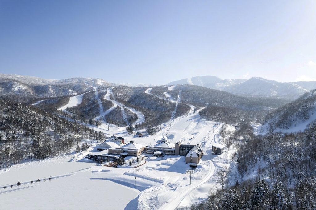
Kiroro Peak – JAPAN
Sahoro – JAPAN
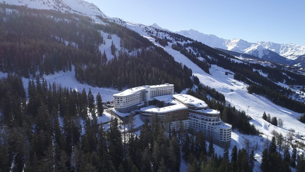
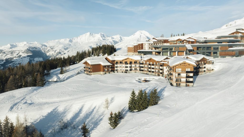
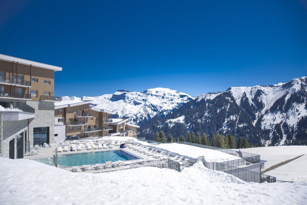
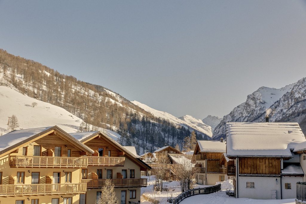
Les Arcs Panorama – FRANCE
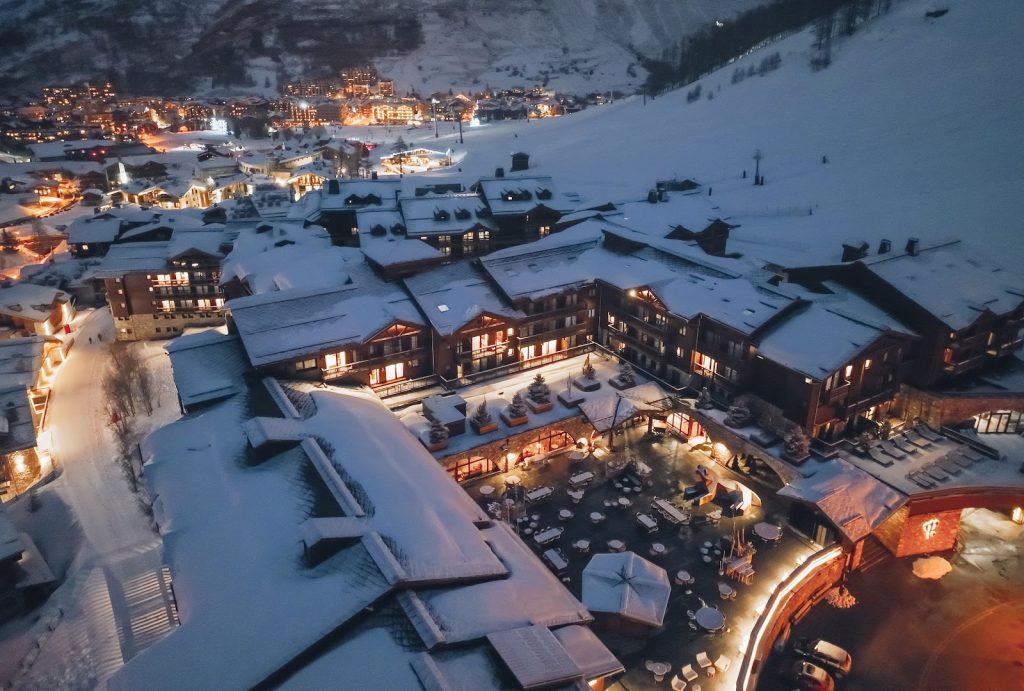
Val d’Isère – FRANCE
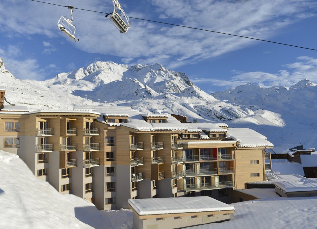
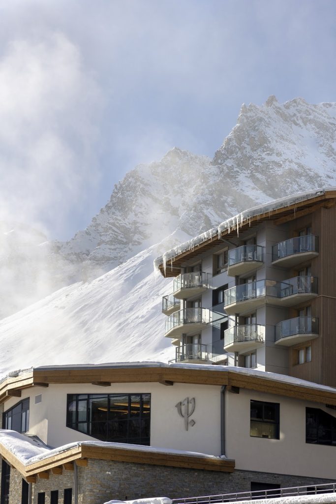
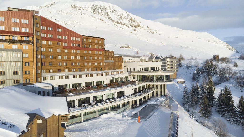
Val Thorens – FRANCE
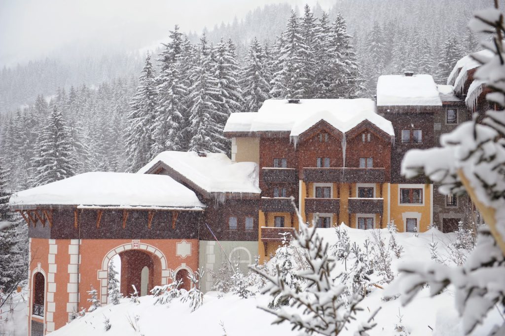
La Rosière – FRANCE
Valmorel – FRANCE
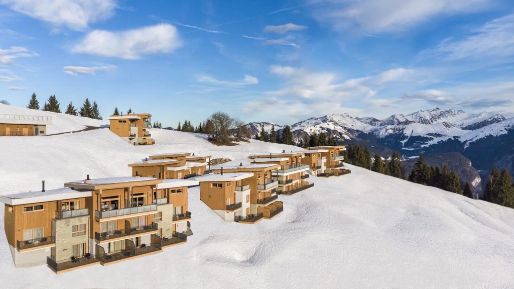
The Valmorel Chalet-Apartments – FRANCE
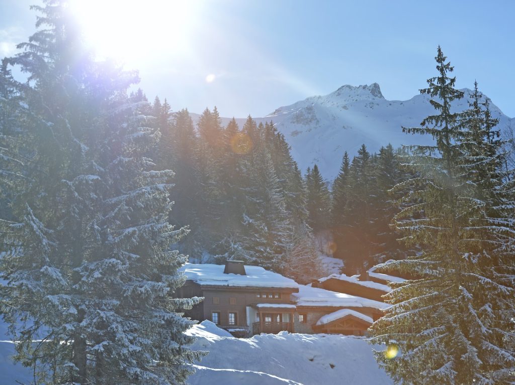
Tignes – FRANCE
Grand Massif Samoëns Morillon – FRANCE
The Grand Massif Samoëns Morillon Chalet-Apartments – FRANCE
Alpe d’Huez – FRANCE

Serre-Chevalier – FRANCE
Peisey-Vallandry – FRANCE
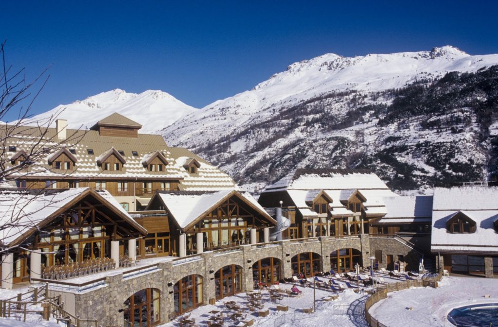
Arcs Extreme – FRANCE
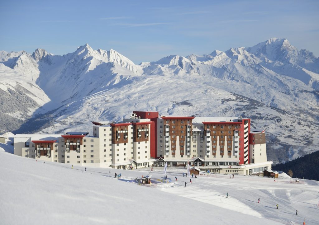
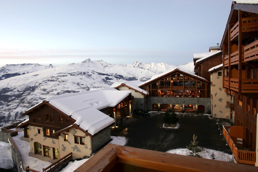
La Plagne 2100 – FRANCE
Pragelato – ITALY
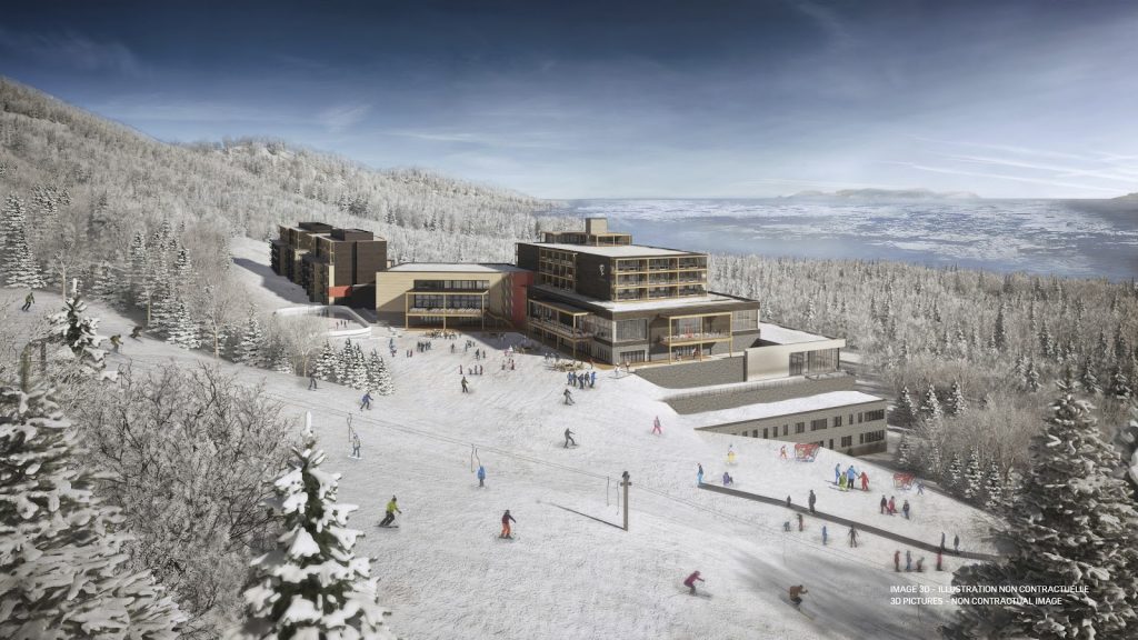
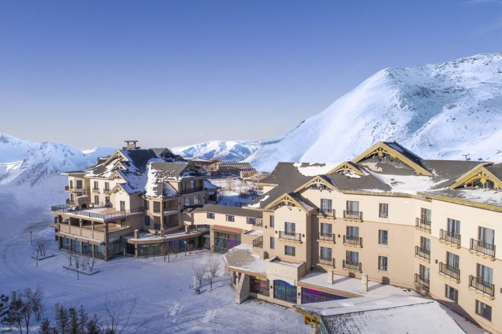
Quebec Charlevoix – CANADA
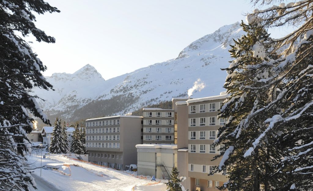
Saint-Moritz Roi Soleil – SWITZERLAND
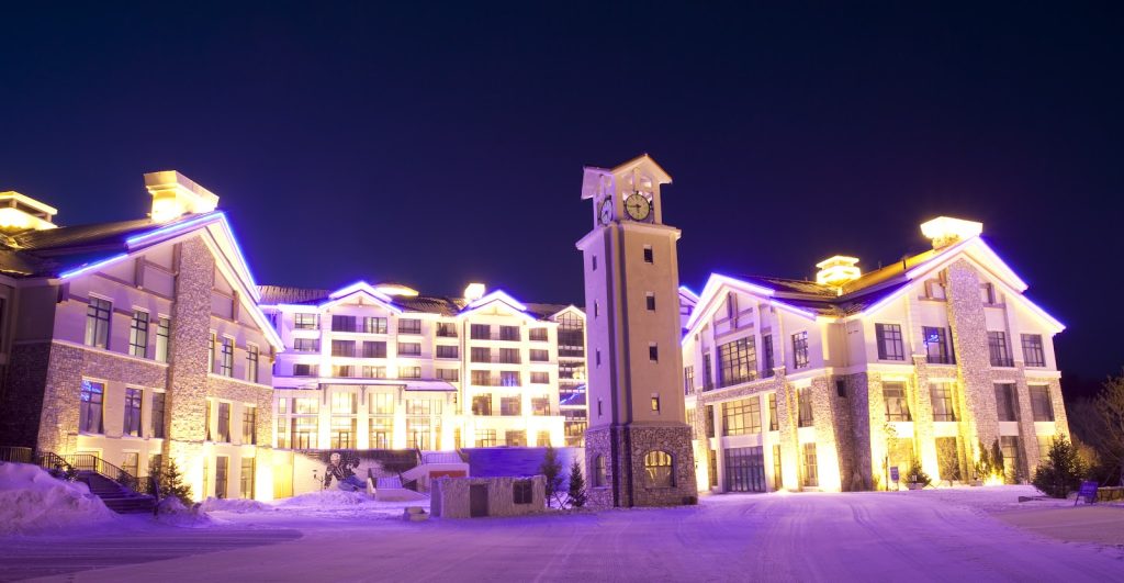
Yabuli – CHINA
Beidahu – CHINA
Changbaishan – CHINA