Village Elevation: 1720m / Summit Elevation: 2054m / Total number of lifts: 47 / Highest Lifted Point: 2034m / Lowest Lifted Point: 1605m
 Forecasts by
Pete ‘The Frog’ Taylor

LIVE TEMP: -0.8
PREDICTED SNOWFALL
NEXT 5 DAYS: 0cm
NEXT 10 DAYS: 0cm
NEXT 15 DAYS: 4-11cm
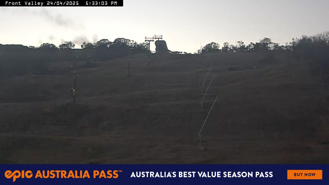
LIVE CAMS
NEXT 4 DAYS
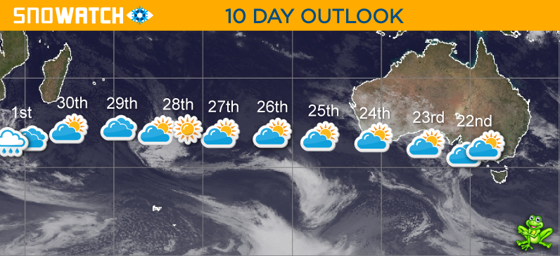
10 DAY OUTLOOK
Updated: June 22nd, 6:26am (Forecast Period 6am-6am<)
MONDAY 22ND

Morning
➤

Midday
➤
Night
SNOW: 0cm
A partly cloudy day with the chance of some light drizzle or snow flurries during the afternoon.
CURR TEMP
-0.8
SNOWMAKING
LIKELY
WIND
W-WSW
LIGHT

TUESDAY 23RD
Morning
➤

Midday
➤
Night
SNOW: 0cm
A partly cloudy day.
SNOWMAKING
LIKELY
WIND
SW-WSW
LIGHT
WEDNESDAY 24TH
Morning
➤
Midday
➤
Night
SNOW: 0cm
A partly cloudy day.
SNOWMAKING
LIKELY
WIND
SW-S
LIGHT

THURSDAY 25TH
Morning
➤
Midday
➤
Night
SNOW: 0cm
A partly cloudy day.
SNOWMAKING
LIKELY
WIND
SE-ESE
LIGHT
FRIDAY 26TH
Morning
➤
Midday
➤
Night
SNOW: 0cm
A partly cloudy day with cloud increasing in the afternoon.
SNOWMAKING
LIKELY
WIND
NW-SE
LIGHT
SATURDAY 27TH
Morning
➤
Midday
➤
Night
SNOW: 0cm
A partly cloudy day.
SNOWMAKING
LIKELY
WIND
NE-ENE
LIGHT
SUNDAY 28TH
Morning
➤
Midday
➤
Night
SNOW: 0cm
A mostly fine early with cloudy periods during the day.
SNOWMAKING
POSSIBLE
WIND
NE
MODERATE
MONDAY 29TH
Morning
➤
Midday
➤
Night
SNOW: 0cm
A mostly cloudy day with the chance of some light drizzle at times.
SNOWMAKING
UNLIKELY
WIND
NE-NNE
MODERATE
TUESDAY 30TH
Morning
➤
Midday
➤
Night
SNOW: 0cm
A partly cloudy day with cloud increasing overnight.
SNOWMAKING
UNLIKELY
WIND
N-NNW
LIGHT
➤
MODERATE
WEDNESDAY 1ST
Morning
➤
Midday
➤

Night
SNOW: 0cm
A mostly cloudy day with possible showers developing later.
SNOWMAKING
UNLIKELY
WIND
W
MODERATE
THURSDAY 2ND
Morning
➤
Midday
➤
Night
SNOW: 0cm
Cloudy with light scattered showers easing.
SNOWMAKING
UNLIKELY
WIND
W
MODERATE
FRIDAY 3RD
Morning
➤
Midday
➤
Night
SNOW: 0 - 1cm
Cloudy with possible late snow flurries.
SNOWMAKING
UNLIKELY
WIND
W
MODERATE
SATURDAY 4TH
Morning
➤

Midday
➤
Night
SNOW: 1 - 3cm
Cool and cloudy with possible light snow showers at times above around 1500m.
SNOWMAKING
LIKELY
WIND
WSW
MODERATE
SUNDAY 5TH
Morning
➤
Midday
➤
Night
SNOW: 1 - 2cm
Cool and cloudy with possible light snow showers at times above around 1400m.
SNOWMAKING
LIKELY
WIND
WSW-SW
MODERATE
MONDAY 6TH
Morning
➤
Midday
➤
Night
SNOW: 2 - 5cm
Becoming cooler with snowfalls developing above 1200m.
SNOWMAKING
LIKELY
WIND
SW
MODERATE
➤
STRONG