
| NEW SOUTH WALES | |||
| Snow forecast | 5 Days | 10 Days | 15 Days |
| Perisher | 5-11cm | 14-36cm | 19-51cm |
| Thredbo | 5-11cm | 14-36cm | 19-51cm |
| Charlotte Pass | 5-11cm | 11-31cm | 16-46cm |
| Selwyn | 4-8cm | 4-14cm | 7-22cm |
| VICTORIA | |||
| Snow forecast | 5 Days | 10 Days | 15 Days |
| Falls Creek | 7-16cm | 17-46cm | 22-61cm |
| Mt Hotham | 7-16cm | 17-46cm | 22-61cm |
| Mt Buller | 9-20cm | 14-35cm | 17-44cm |
| Mt Baw Baw | 10-24cm | 16-42cm | 20-51cm |
Please note: the 10-15 day readings are more likely to change due to the longer range timeframe.

It's been mild as far as temps go in the resorts overnight, so no snowmaking. Winds have been very strong, reaching 112km/h at Hotham and 120km/h at the top of Thredbo.
Winds will be strong today, so check resort boards and websites for lift status updates. It will be partly cloudy with cloud increasing and light snow flurries at times in the south. Snow showers developing overnight and possibly reaching as low as 1100m. It should only be light falls, but a welcome top up none the less.
Snow showers continuing tomorrow above around 1300-1400m with the Victorian resorts seeing a bit more snow than NSW.
Looking further ahead, more snow after some showers and rain on the 9th. This one has potential for a decent fall up high (snow level is marginal with this system) and some rain damage to the lower slopes.
Although the weather models don't agree, I think the 15th/16th could see more snow falling. Will depend on what the high pressure systems do.
Long range, I'm liking the look of a few potential snow systems. The first being around the 19th-21st for a light fall. Then possible light snow around the 20th-22nd (maybe some showers mixed in). Further out the 26th-28th is also looking promising for snowfalls...obviously these are a long way out, but it's getting me excited for possibly an epic August (better late than never)....fingers crossed.
Pete 'The Frog' Taylor
....
If publishing any of the above forecast outlook please quote Snowatch.com.au as the source.


| AUGUST | ||||||
| SUN | MON | TUE | WED | THU | FRI | SAT |
| 1 | ||||||
| 2 | 3 | 4 | 5 | 6 | 7 | 8 |
| 9 | 10 | 11 | 12 | 13 | 14 | 15 |
| 16 | 17 | 18 | 19 | 20 | 21 | 22 |
| 23 | 24 | 25 | 26 | 27 | 28 | 29 |
| 30 | 31 | |||||
| SEPTEMBER | ||||||
| SUN | MON | TUE | WED | THU | FRI | SAT |
| 1 | 2 | 3 | 4 | 5 | ||
| 6 | 7 | 8 | 9 | 10 | 11 | 12 |
| 13 | 14 | 15 | 16 | 17 | 18 | 19 |
| 20 | 21 | 22 | 23 | 24 | 25 | 26 |
| 27 | 28 | 29 | 30 | |||
| No Snow | Light Snow | Heavy Snow |
Click here for the 15 Day Forecasts
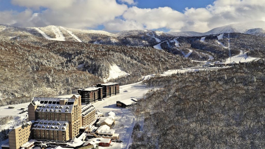
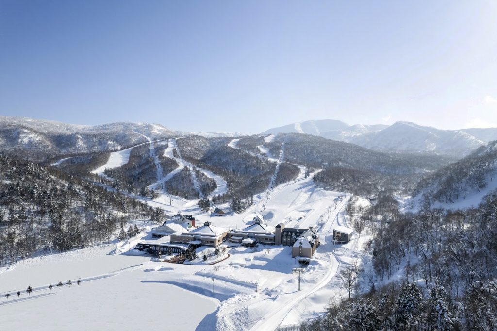
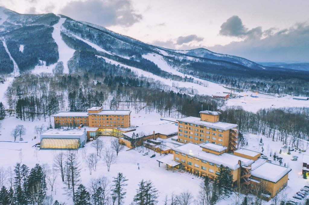
CLUB MED – The Ultimate All Inclusive* Snow Resorts
*All inclusive includes food, drinks (beer, wine, soft drinks, cocktails and most spirits), lift passes and group lessons.
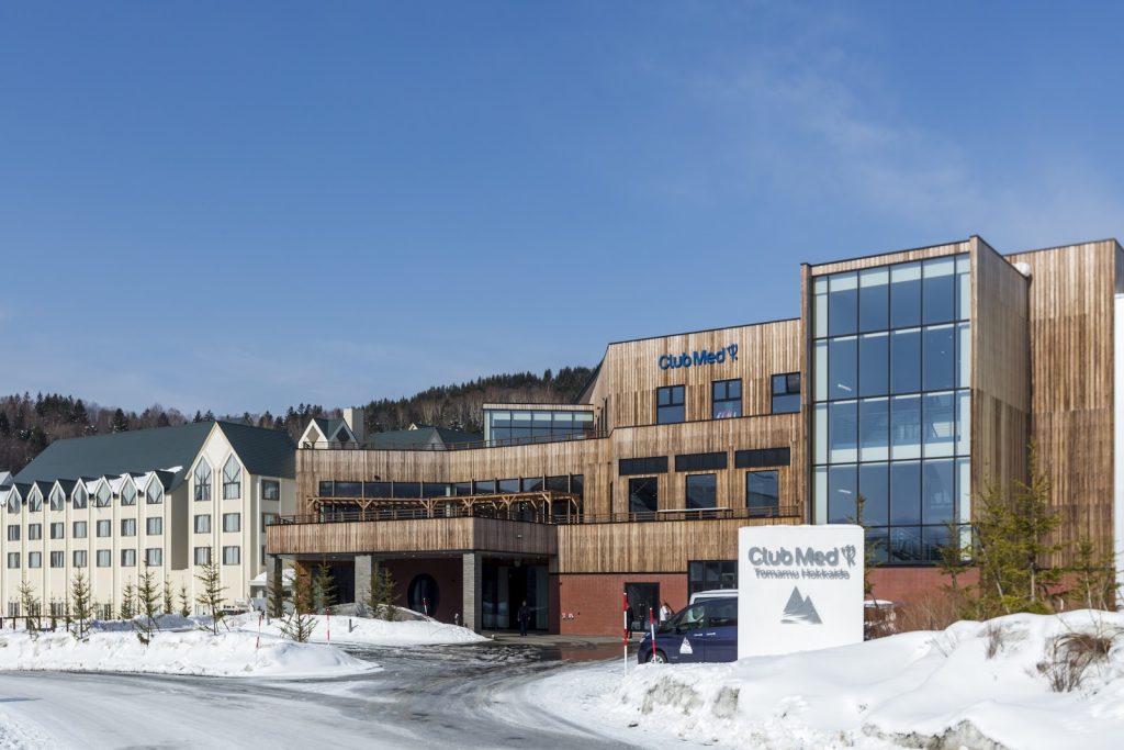
Tomamu – JAPAN
Kiroro Grand – JAPAN
Kiroro Peak – JAPAN
Sahoro – JAPAN
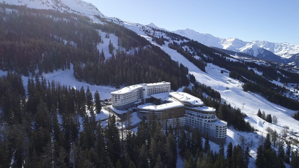
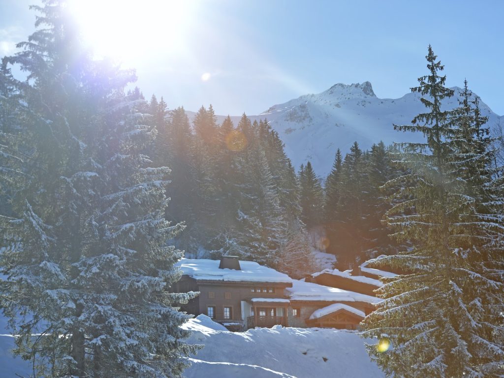
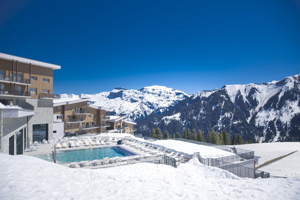
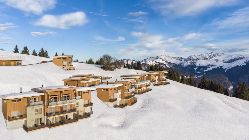
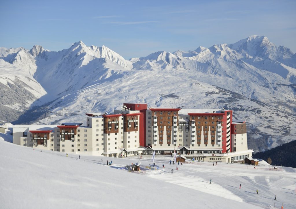
Les Arcs Panorama – FRANCE
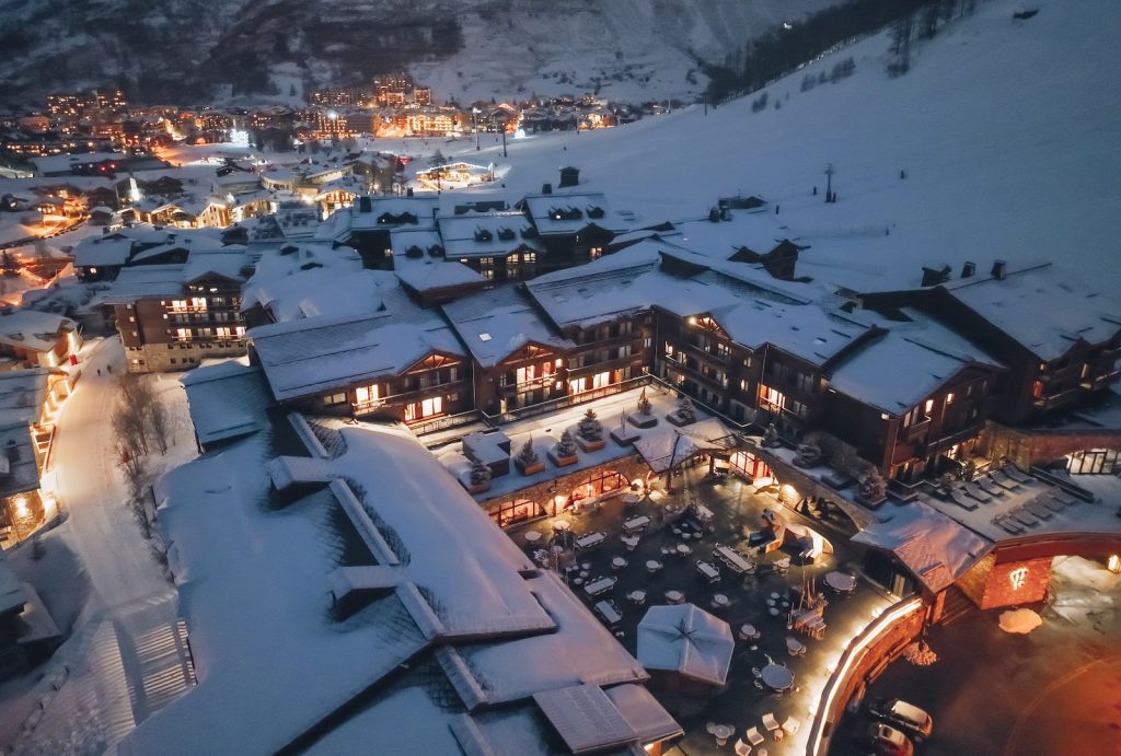
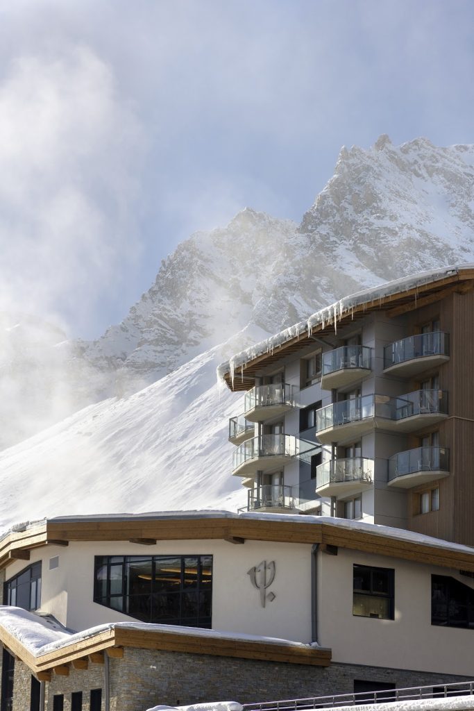
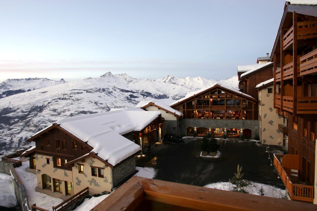
Val d’Isère – FRANCE
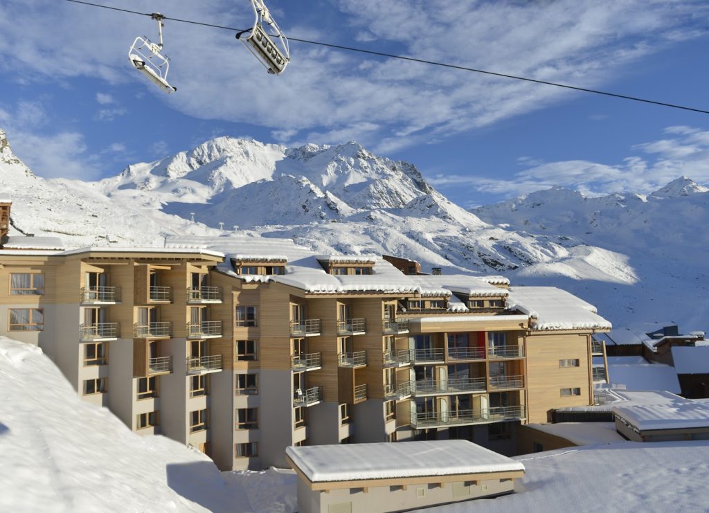
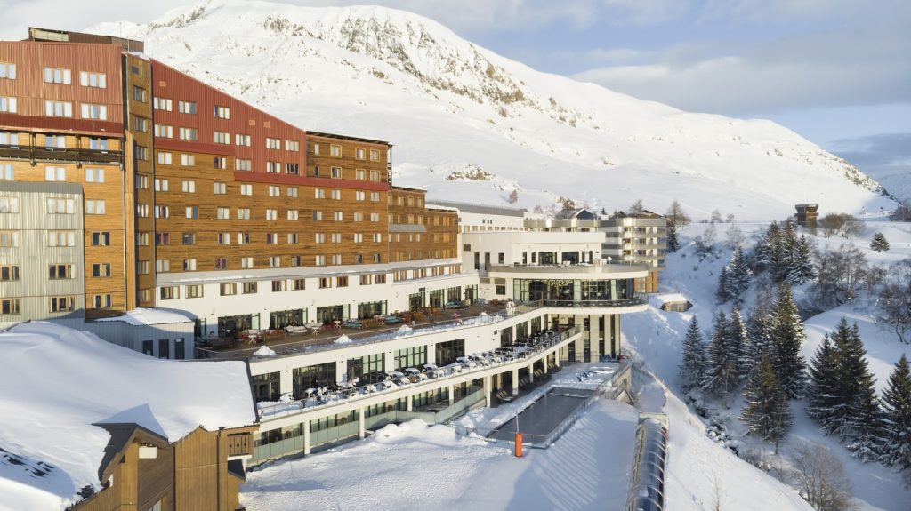
Val Thorens – FRANCE
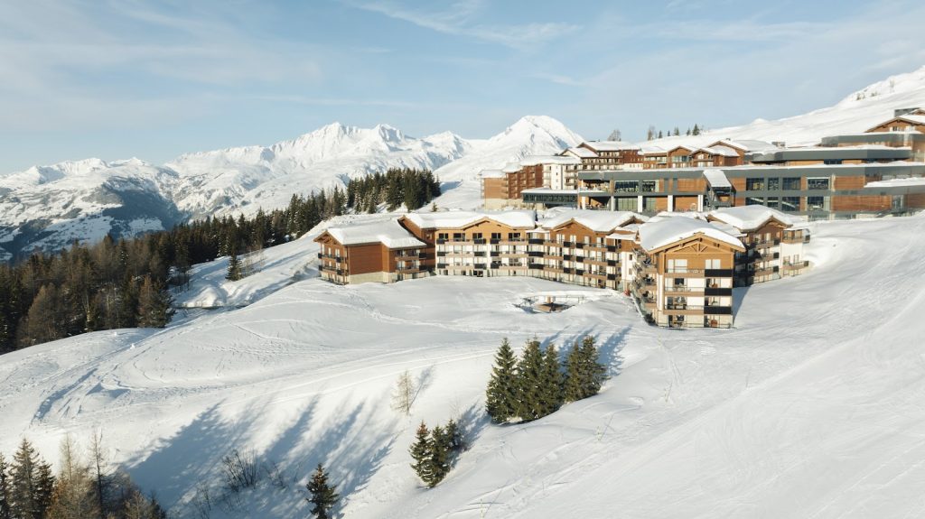
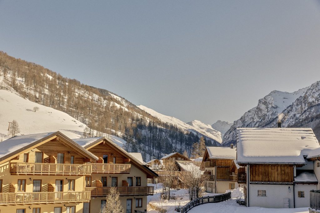
La Rosière – FRANCE
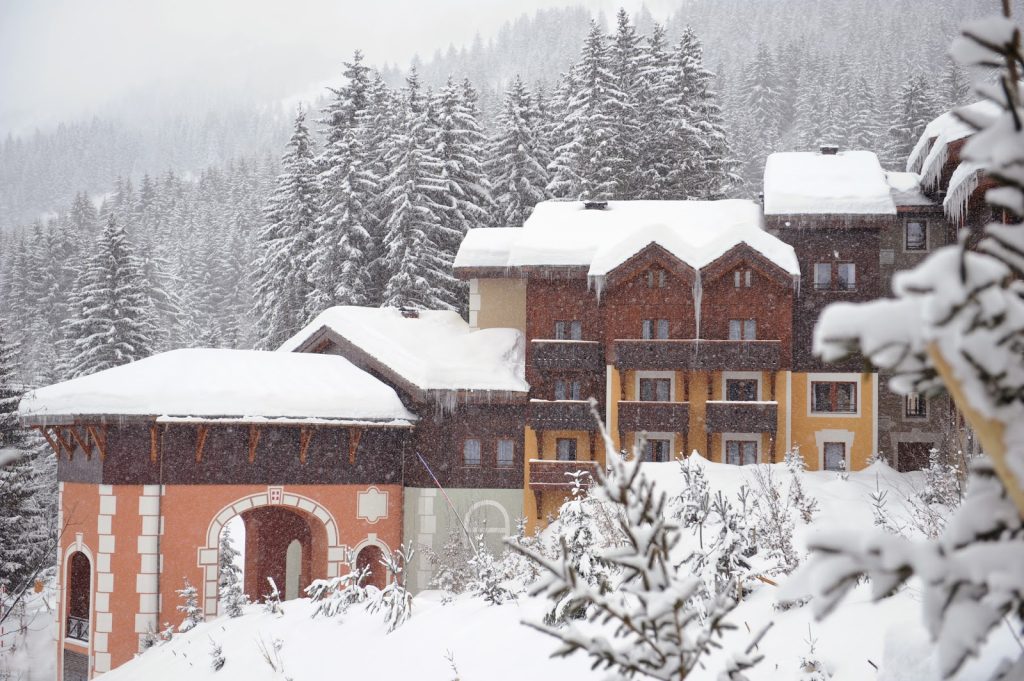
Valmorel – FRANCE
The Valmorel Chalet-Apartments – FRANCE
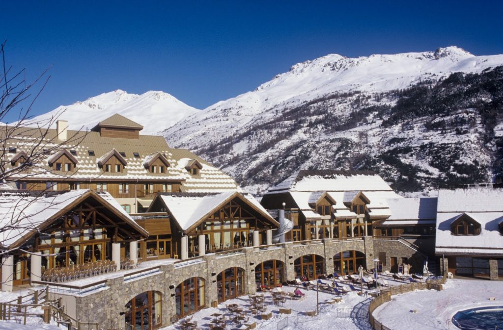
Tignes – FRANCE
Grand Massif Samoëns Morillon – FRANCE
The Grand Massif Samoëns Morillon Chalet-Apartments – FRANCE
Alpe d’Huez – FRANCE

Serre-Chevalier – FRANCE
Peisey-Vallandry – FRANCE
Arcs Extreme – FRANCE
La Plagne 2100 – FRANCE
Pragelato – ITALY
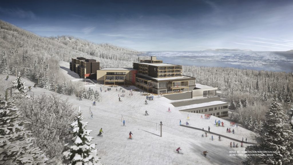
Quebec Charlevoix – CANADA
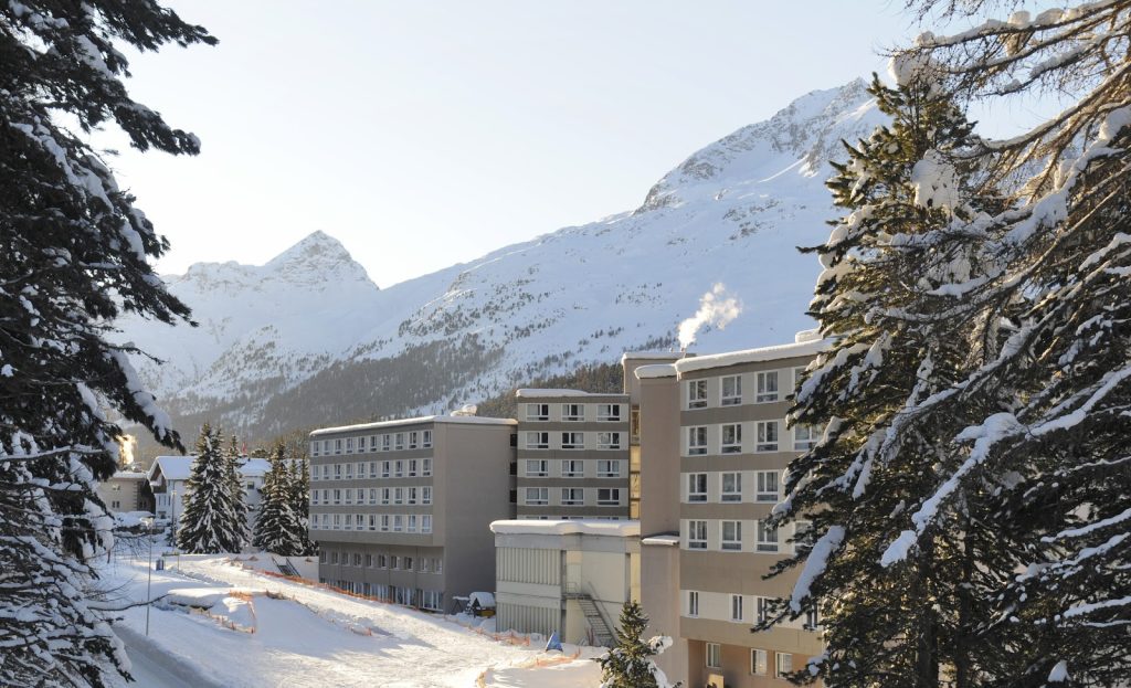
Saint-Moritz Roi Soleil – SWITZERLAND
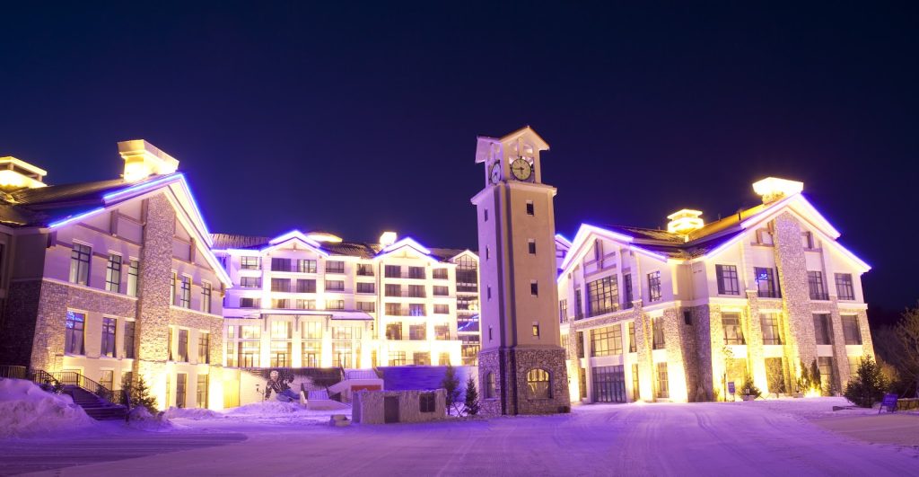
Yabuli – CHINA
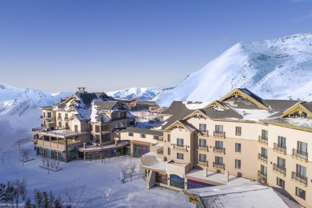
Beidahu – CHINA
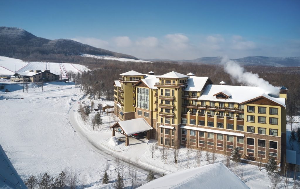
Changbaishan – CHINA
