
| NEW SOUTH WALES | |||
| Snow forecast | 5 Days | 10 Days | 15 Days |
| Perisher | 0cm | 0-1cm | 4-19cm |
| Thredbo | 0cm | 0-1cm | 4-19cm |
| Charlotte Pass | 0cm | 0-1cm | 4-19cm |
| Selwyn | 0cm | 0cm | 1-11cm |
| VICTORIA | |||
| Snow forecast | 5 Days | 10 Days | 15 Days |
| Falls Creek | 0cm | 0-2cm | 5-23cm |
| Mt Hotham | 0cm | 0-2cm | 5-23cm |
| Mt Buller | 0cm | 0-2cm | 6-24cm |
| Mt Baw Baw | 0cm | 0-2cm | 7-24cm |
Please note: the 10-15 day readings are more likely to change due to the longer range timeframe.

It was a warm night in the resorts, but the good news is the humidity was low and the wet bulb reading low enough for the Snowmakers to fire at most resorts.
Today will be another sunny and Spring-like day with light winds in the resorts. The snow will soften early and be quite cut up by afternoon. Best to get out early. We have seen more lifts opening, so more terrain to explore.
A very weak change could see some light snow up top around the 23rd, but nothing to get excited about just yet. This has potential to build into something a bit bigger over the next few days, so fingers crossed.
The current Southern Hemisphere weather patterns are highly unusual for this time of year. The high pressure systems are sitting way too far south than we would like, which is forcing potential snow systems south, under the mainland.
Long range is starting to look a bit more interesting with a weak front due around the 28th with possible light snow and then a much cooler front due around the 30th/31st that could see lower level snow falling. Obviously this is still a fair way away but it's definately worth keeping an eye on to see what develops.
Pete 'The Frog' Taylor
....
If publishing any of the above forecast outlook please quote Snowatch.com.au as the source.


| JULY | ||||||
| SUN | MON | TUE | WED | THU | FRI | SAT |
| 1 | 2 | 3 | 4 | |||
| 5 | 6 | 7 | 8 | 9 | 10 | 11 |
| 12 | 13 | 14 | 15 | 16 | 17 | 18 |
| 19 | 20 | 21 | 22 | 23 | 24 | 25 |
| 26 | 27 | 28 | 29 | 30 | 31 | |
| AUGUST | ||||||
| SUN | MON | TUE | WED | THU | FRI | SAT |
| 1 | ||||||
| 2 | 3 | 4 | 5 | 6 | 7 | 8 |
| 9 | 10 | 11 | 12 | 13 | 14 | 15 |
| 16 | 17 | 18 | 19 | 20 | 21 | 22 |
| 23 | 24 | 25 | 26 | 27 | 28 | 29 |
| 30 | 31 | |||||
| No Snow | Light Snow | Heavy Snow |
Click here for the 15 Day Forecasts
CLUB MED – The Ultimate All Inclusive* Snow Resorts
*All inclusive includes food, drinks (beer, wine, soft drinks, cocktails and most spirits), lift passes and group lessons.
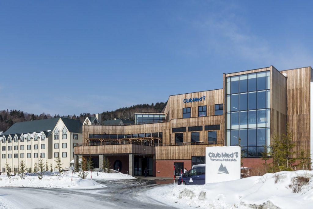
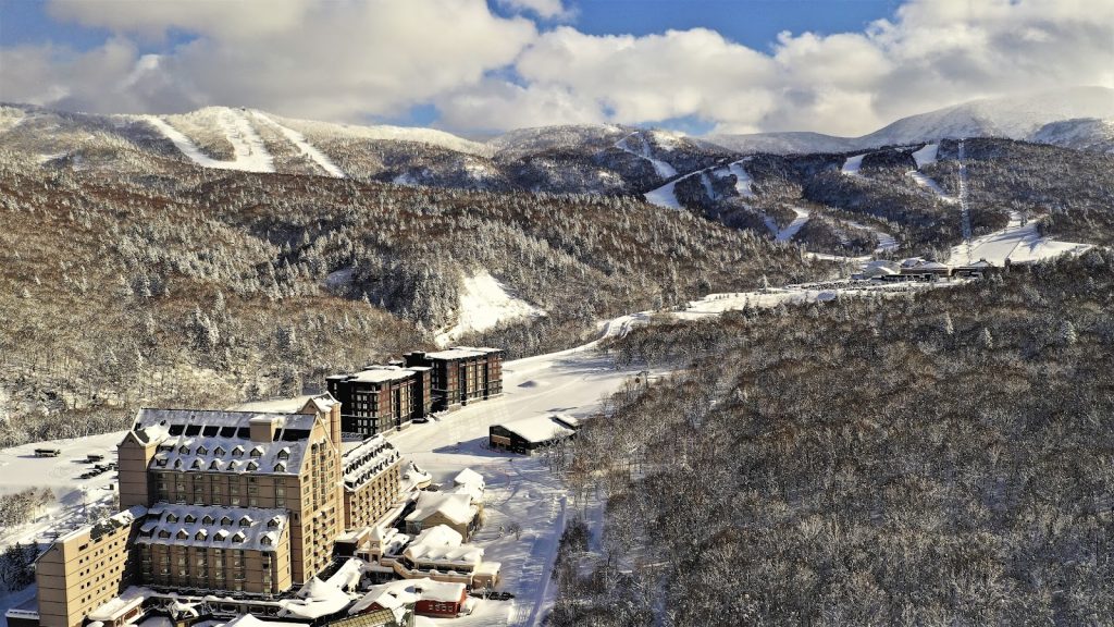
Tomamu – JAPAN
Kiroro Grand – JAPAN
Kiroro Peak – JAPAN
Sahoro – JAPAN
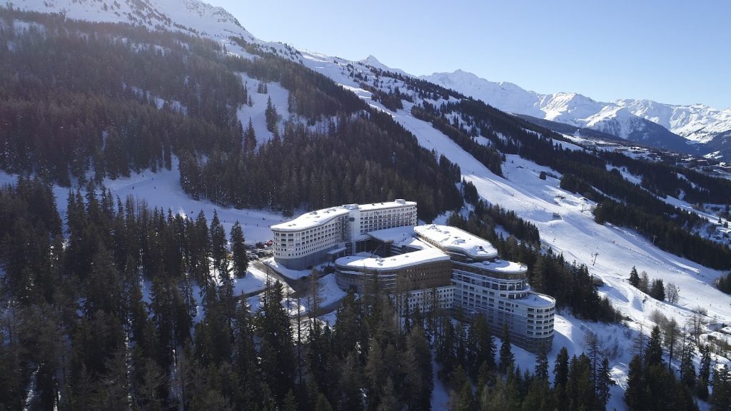
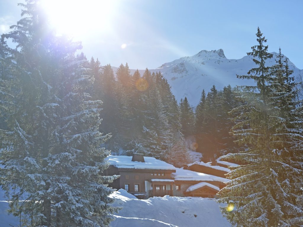
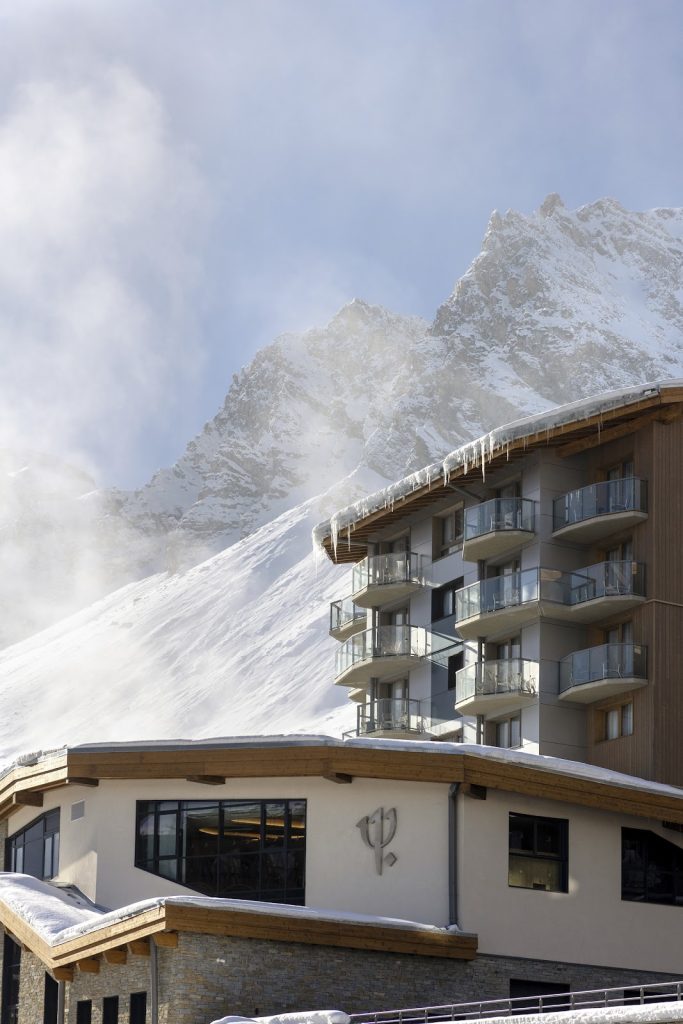
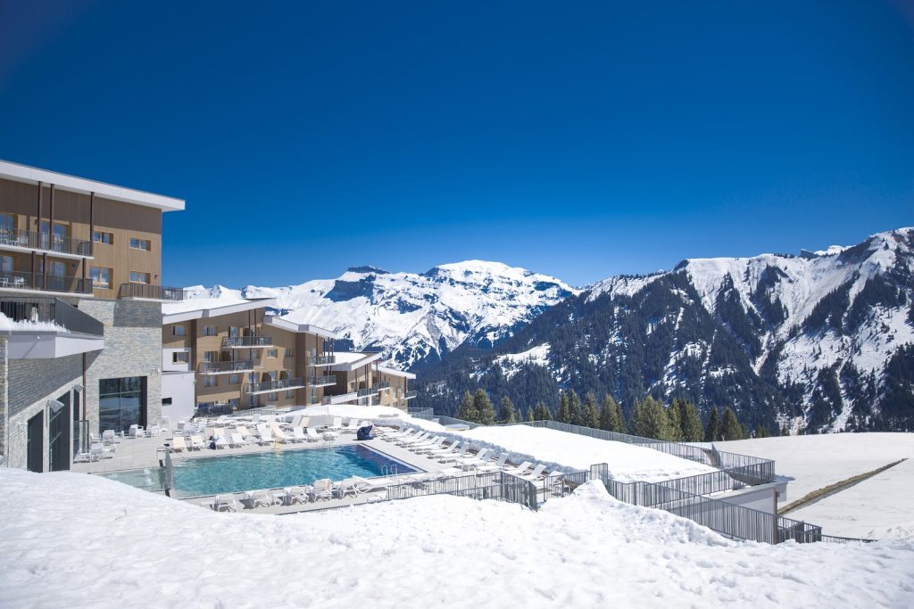
Les Arcs Panorama – FRANCE
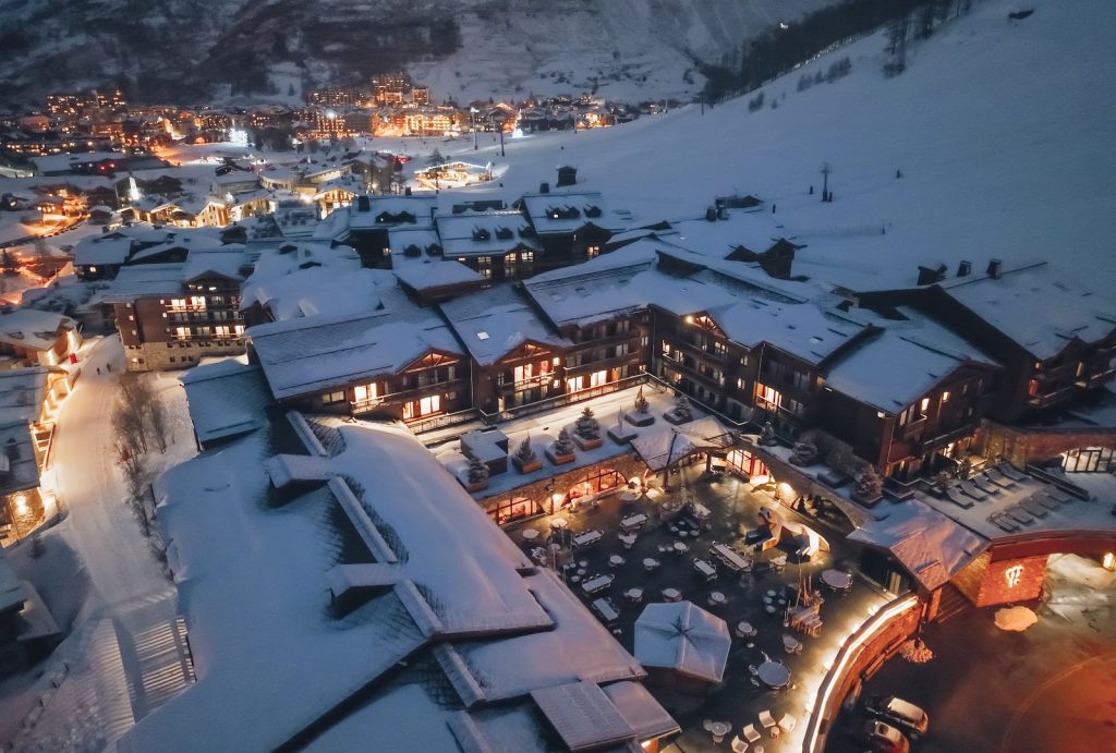
Val d’Isère – FRANCE
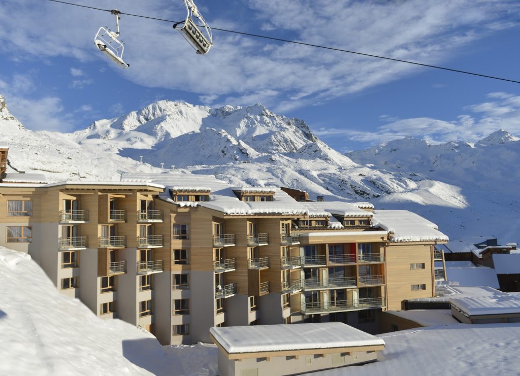
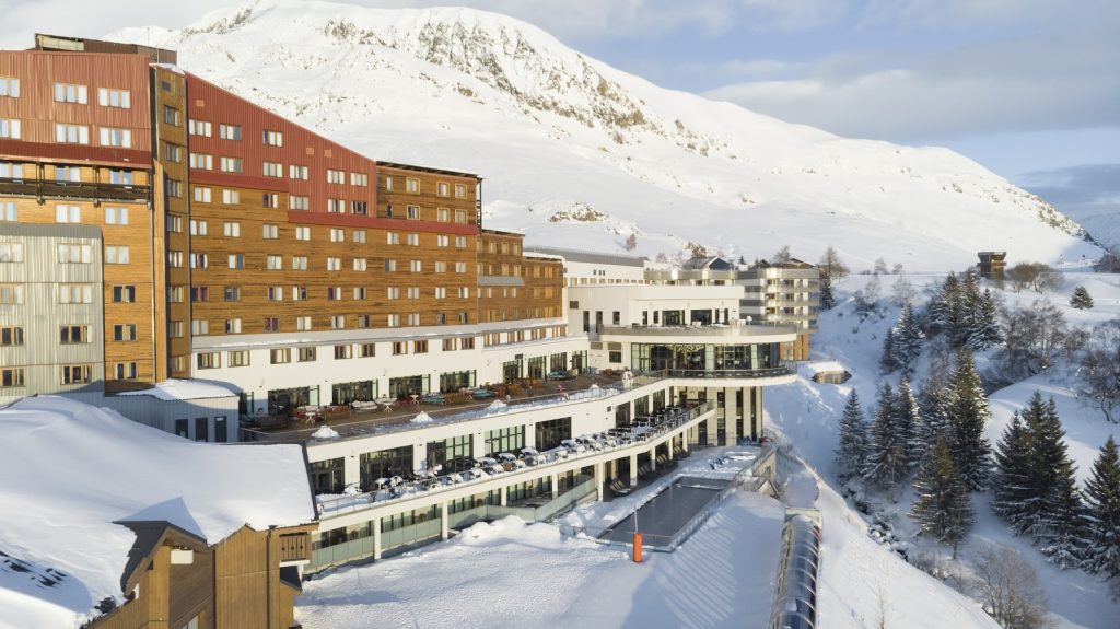
Val Thorens – FRANCE
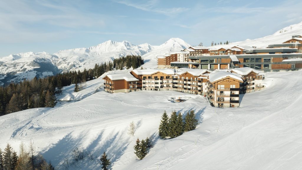
La Rosière – FRANCE
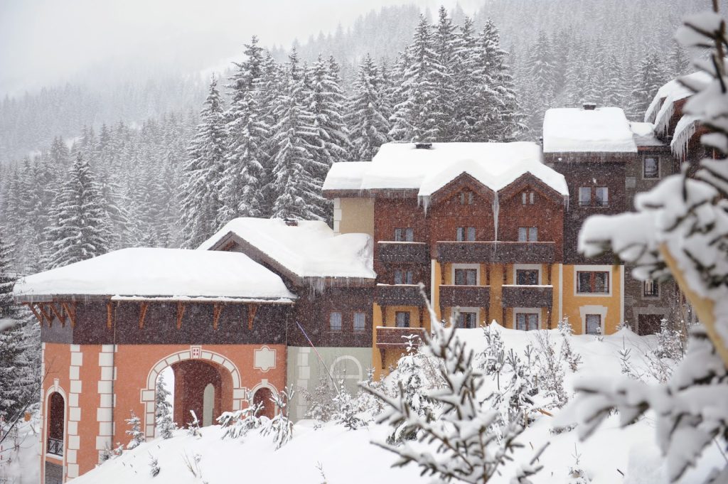
Valmorel – FRANCE
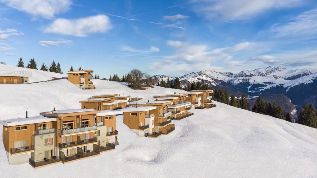
The Valmorel Chalet-Apartments – FRANCE
Tignes – FRANCE
Grand Massif Samoëns Morillon – FRANCE
The Grand Massif Samoëns Morillon Chalet-Apartments – FRANCE
Alpe d’Huez – FRANCE

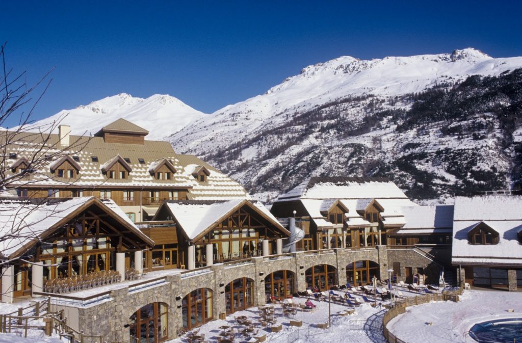
Serre-Chevalier – FRANCE
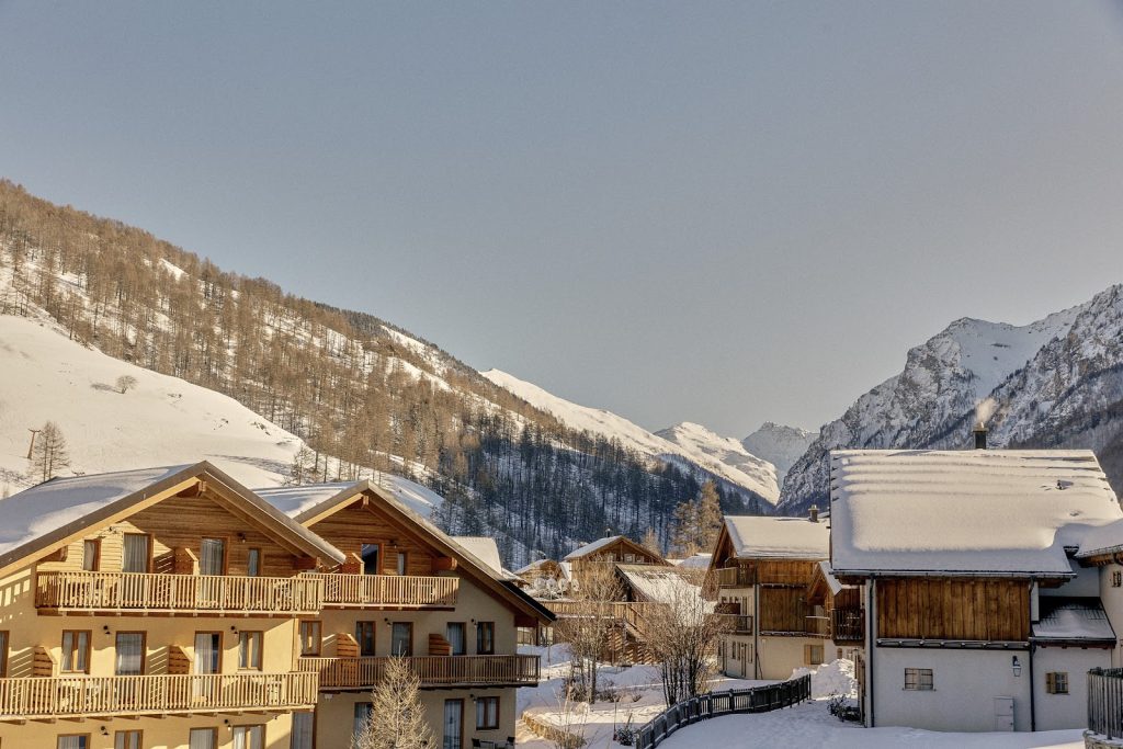
Peisey-Vallandry – FRANCE
Arcs Extreme – FRANCE
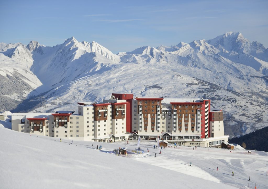
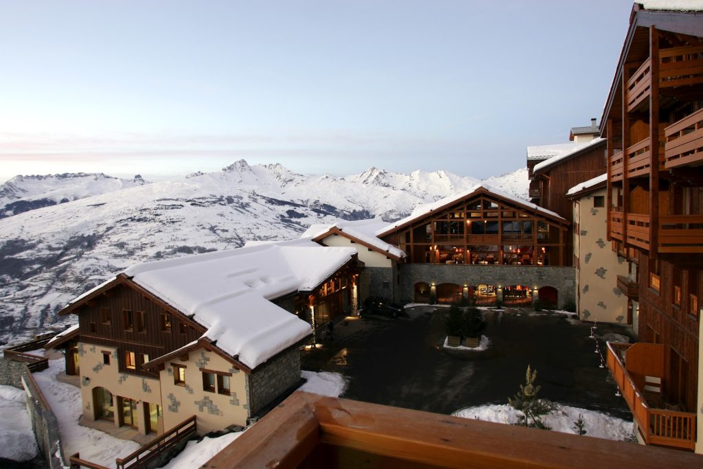
La Plagne 2100 – FRANCE
Pragelato – ITALY
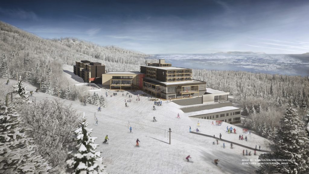
Quebec Charlevoix – CANADA
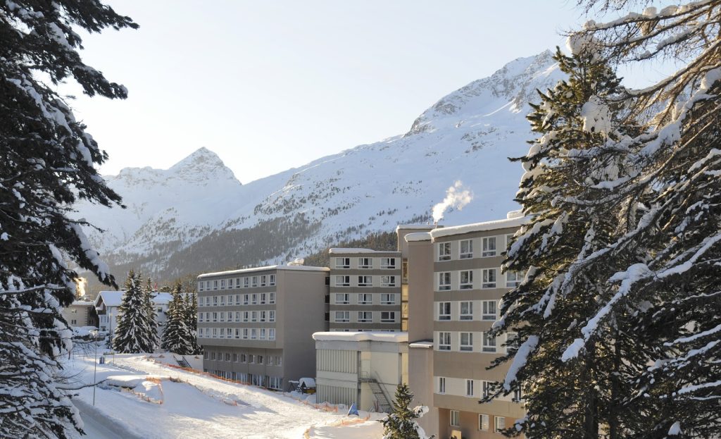
Saint-Moritz Roi Soleil – SWITZERLAND
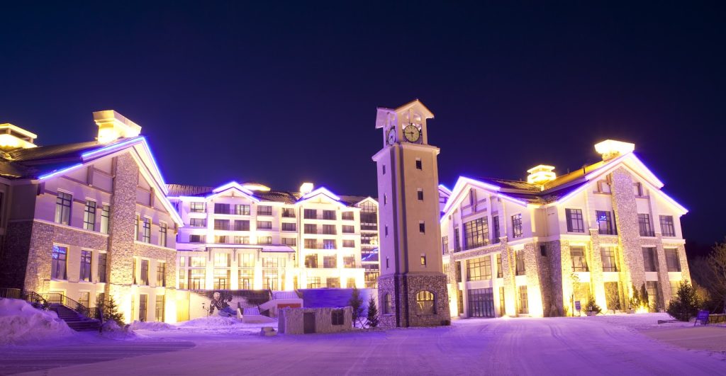
Yabuli – CHINA
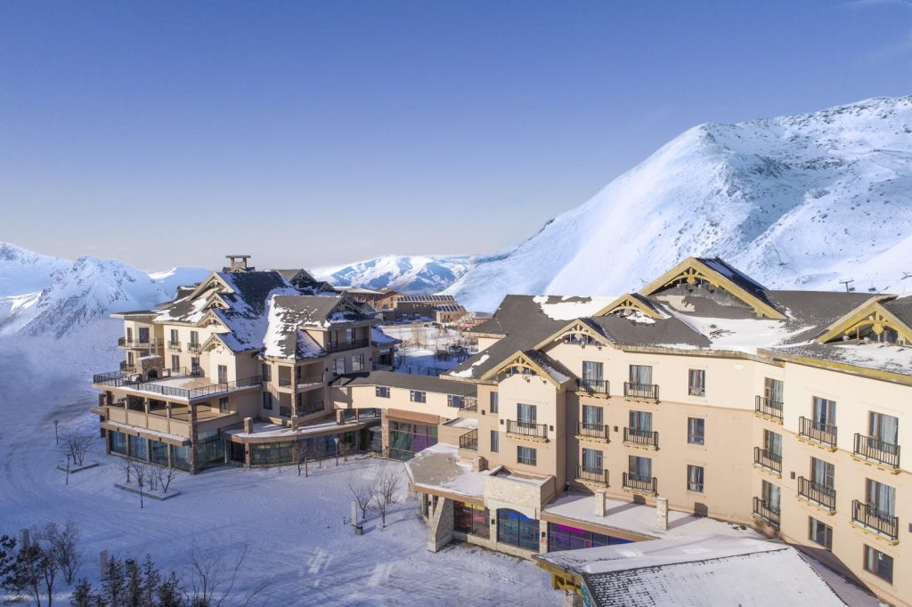
Beidahu – CHINA
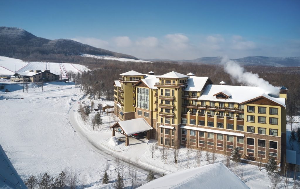
Changbaishan – CHINA