

| NEW SOUTH WALES | |||
| Snow forecast | 5 Days | 10 Days | 15 Days |
| Perisher | 0cm | 0cm | 0cm |
| Thredbo | 0cm | 0cm | 0cm |
| Charlotte Pass | 0cm | 0cm | 0cm |
| Selwyn | 0cm | 0cm | 0cm |
| VICTORIA | |||
| Snow forecast | 5 Days | 10 Days | 15 Days |
| Falls Creek | 0cm | 0cm | 0cm |
| Mt Hotham | 0cm | 0cm | 0cm |
| Mt Buller | 0cm | 0cm | 0cm |
| Mt Baw Baw | 0cm | 0cm | 0cm |
Please note: the 10-15 day readings are more likely to change due to the longer range timeframe.

The final weekend for the season is looking fine, sunny and warm with temps of 13-14C. Winds will also be strong, especially Sunday where they could nudge 100km/h about the peaks causing a hair dryer affect, which will increase the snow melt even more.
Perisher are planning to operate through to Friday 25th. The groomers and snowmakers have done an amazing job to keep slopes open considering how little natural snow we have had over the last month.
Long range I don't see any more snow coming.
Pete 'The Frog' Taylor
....
If publishing any of the above forecast outlook please quote Snowatch.com.au as the source.


| SEPTEMBER | ||||||
| SUN | MON | TUE | WED | THU | FRI | SAT |
| 1 | 2 | 3 | 4 | 5 | ||
| 6 | 7 | 8 | 9 | 10 | 11 | 12 |
| 13 | 14 | 15 | 16 | 17 | 18 | 19 |
| 20 | 21 | 22 | 23 | 24 | 25 | 26 |
| 27 | 28 | 29 | 30 | |||
| OCTOBER | ||||||
| SUN | MON | TUE | WED | THU | FRI | SAT |
| 1 | 2 | 3 | ||||
| 4 | 5 | 6 | 7 | 8 | 9 | 10 |
| 11 | 12 | 13 | 14 | 15 | 16 | 17 |
| 18 | 19 | 20 | 21 | 22 | 23 | 24 |
| 25 | 26 | 27 | 28 | 29 | 30 | 31 |
| No Snow | Light Snow | Heavy Snow |
Click here for the 15 Day Forecasts
CLUB MED – The Ultimate All Inclusive* Snow Resorts
*All inclusive includes food, drinks (beer, wine, soft drinks, cocktails and most spirits), lift passes and group lessons.
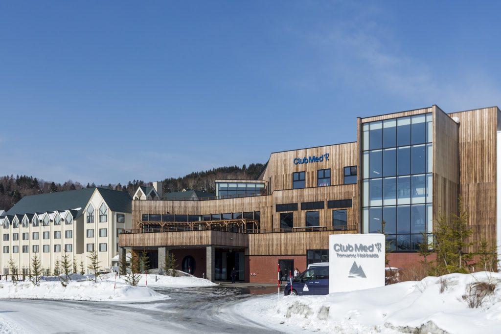
Tomamu – JAPAN
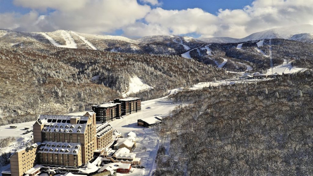
Kiroro Grand – JAPAN
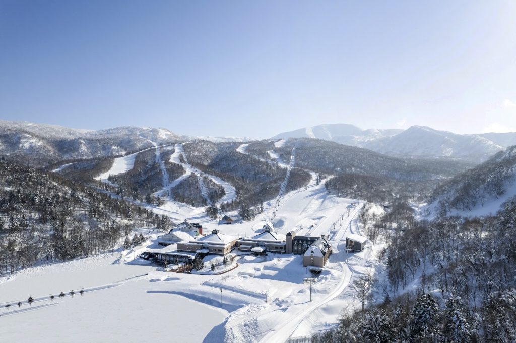
Kiroro Peak – JAPAN
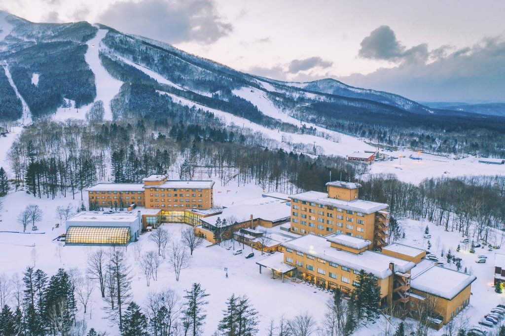
Sahoro – JAPAN
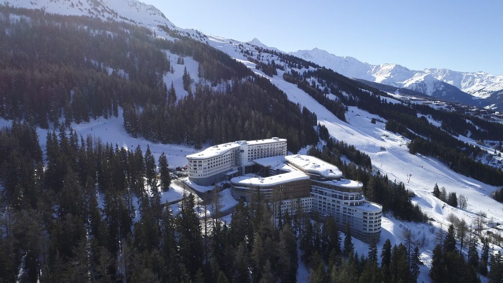
Les Arcs Panorama – FRANCE
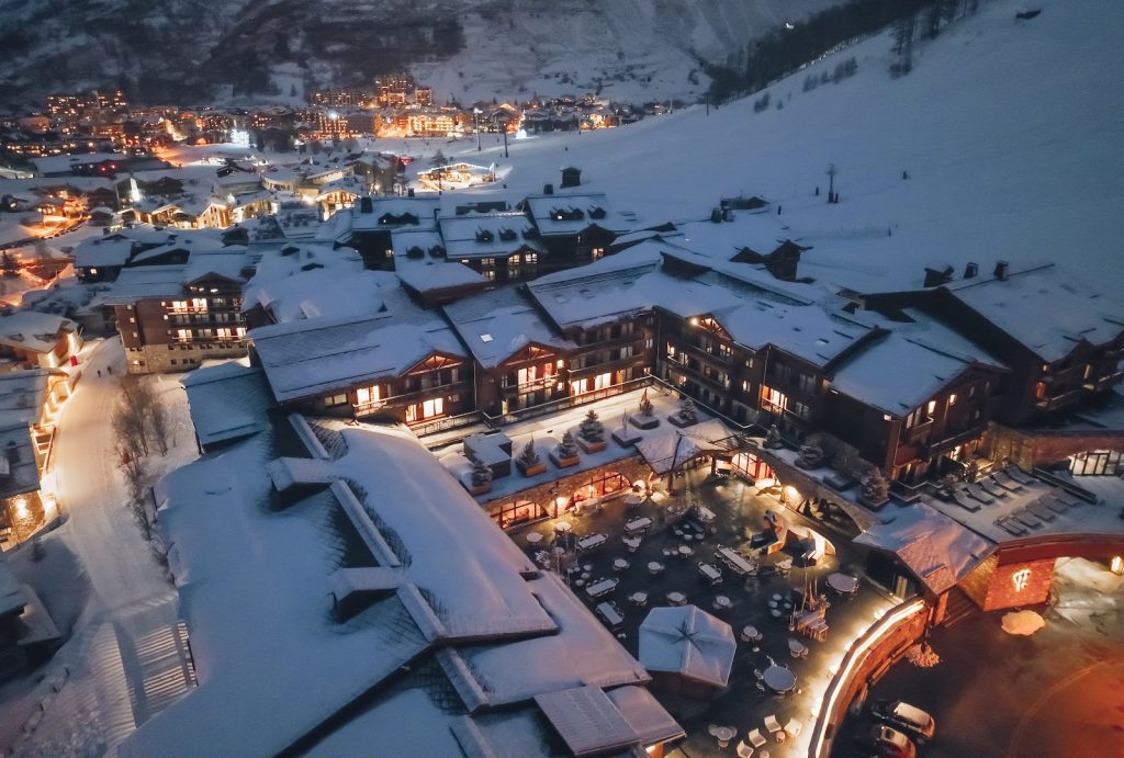
Val d’Isère – FRANCE
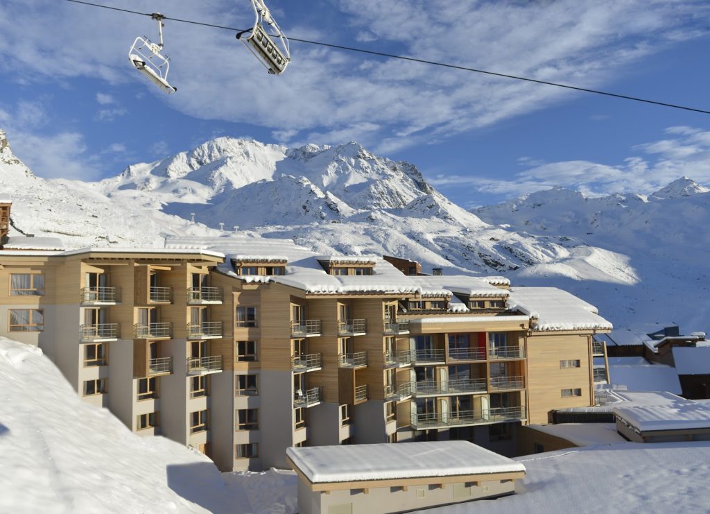
Val Thorens – FRANCE
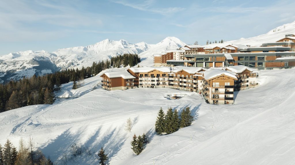
La Rosière – FRANCE
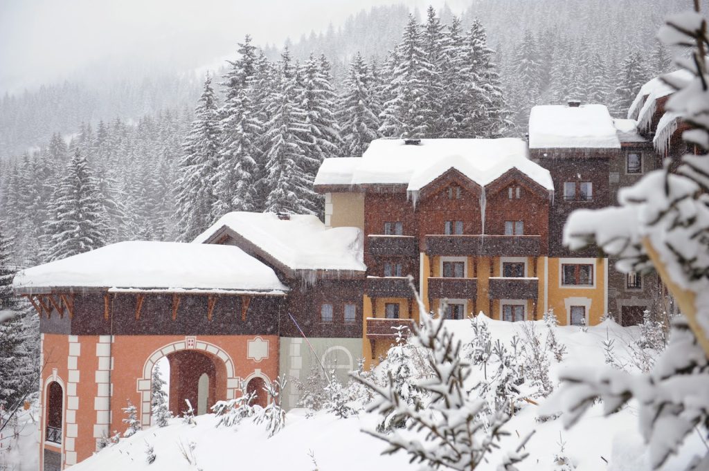
Valmorel – FRANCE
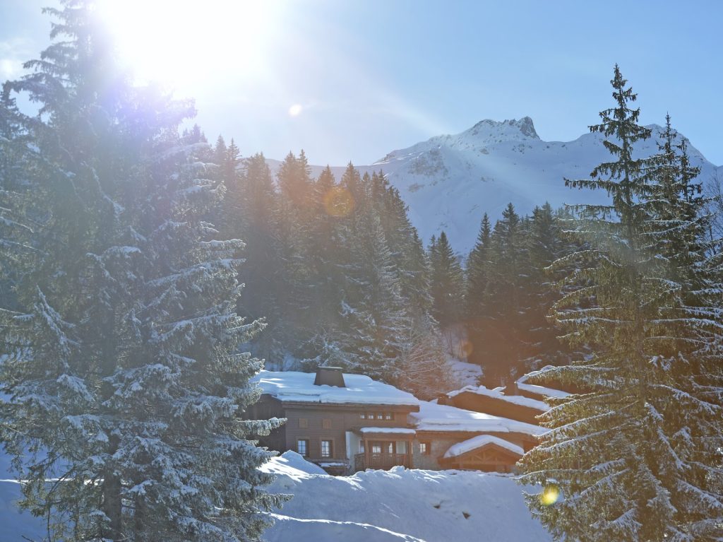
The Valmorel Chalet-Apartments – FRANCE
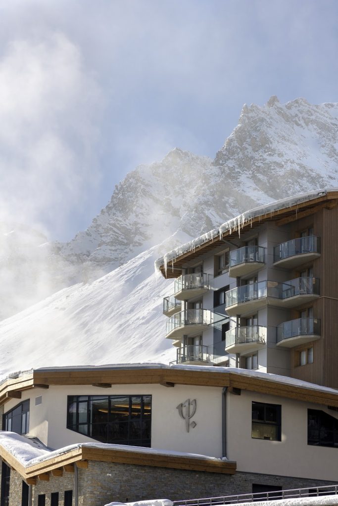
Tignes – FRANCE
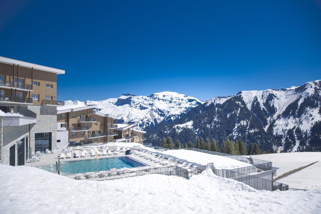
Grand Massif Samoëns Morillon – FRANCE
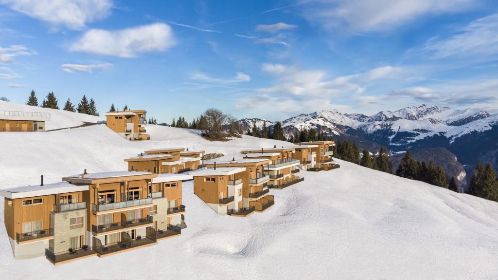
The Grand Massif Samoëns Morillon Chalet-Apartments – FRANCE
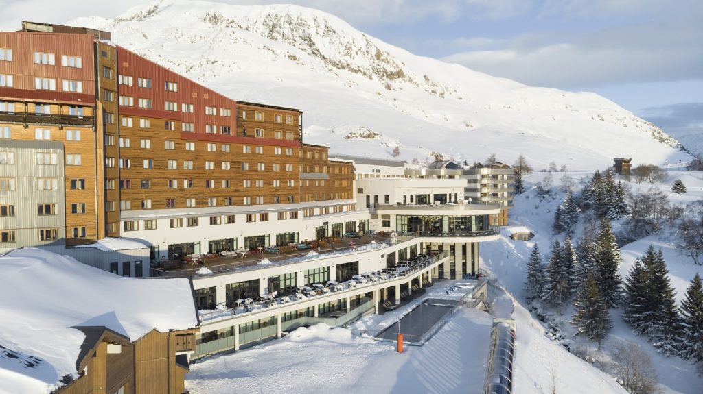
Alpe d’Huez – FRANCE
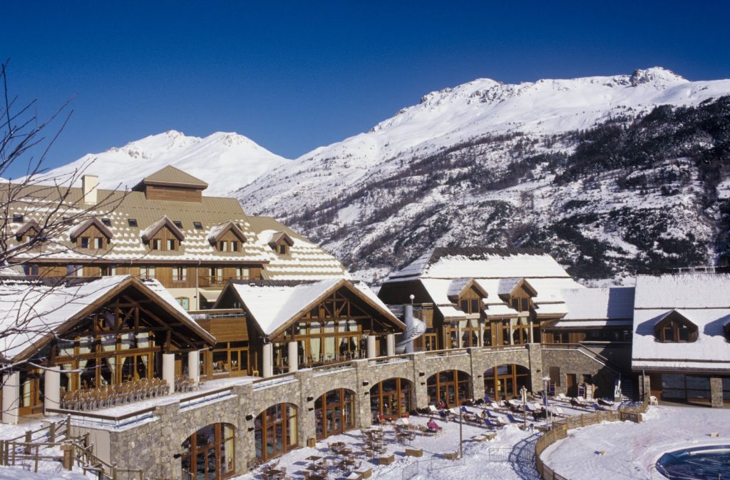
Serre-Chevalier – FRANCE
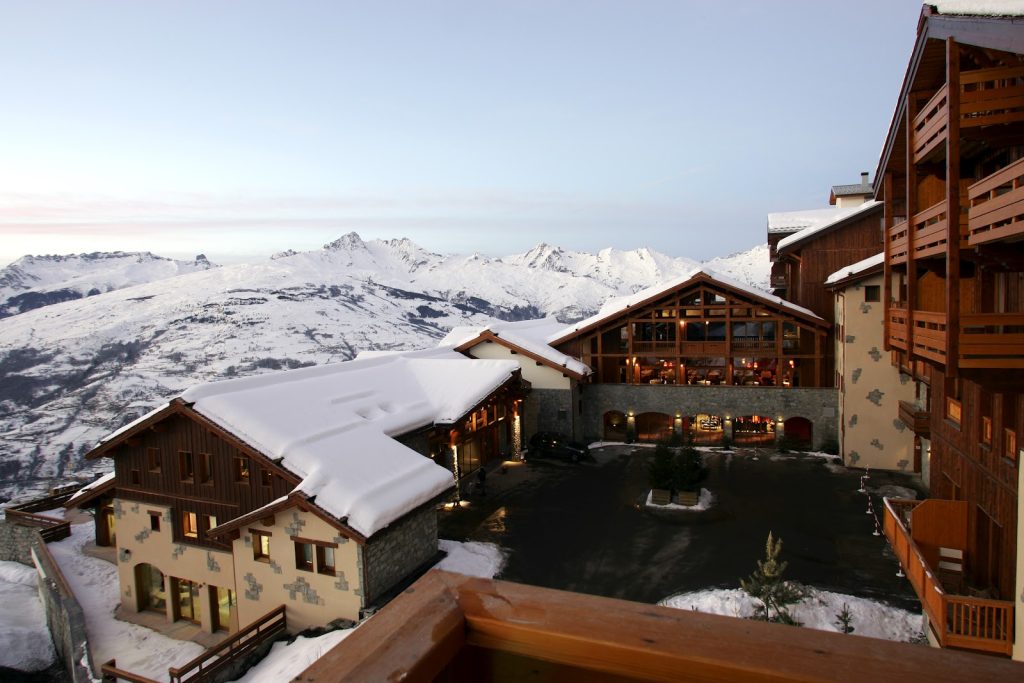
Peisey-Vallandry – FRANCE
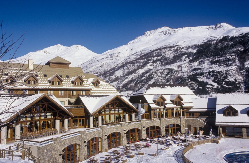
Arcs Extreme – FRANCE
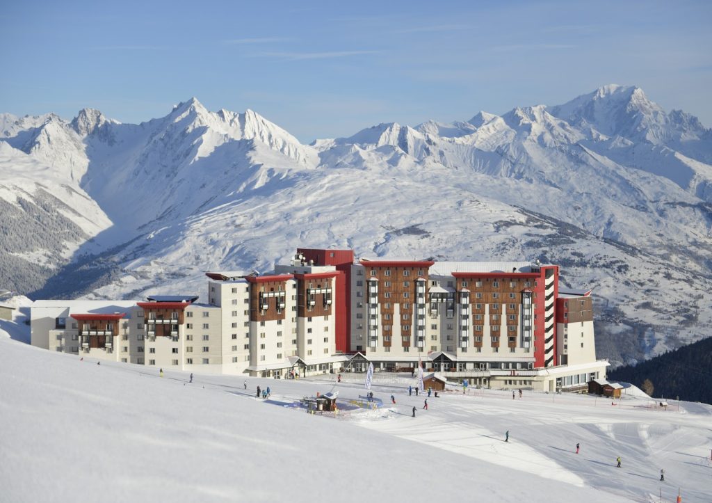
La Plagne 2100 – FRANCE
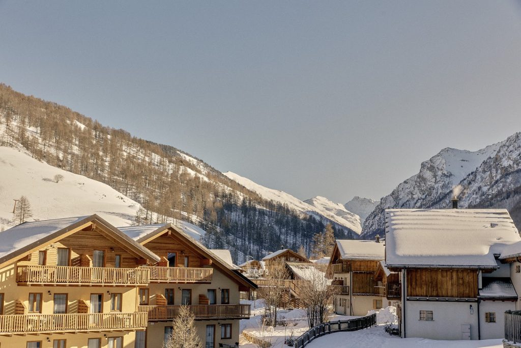
Pragelato – ITALY
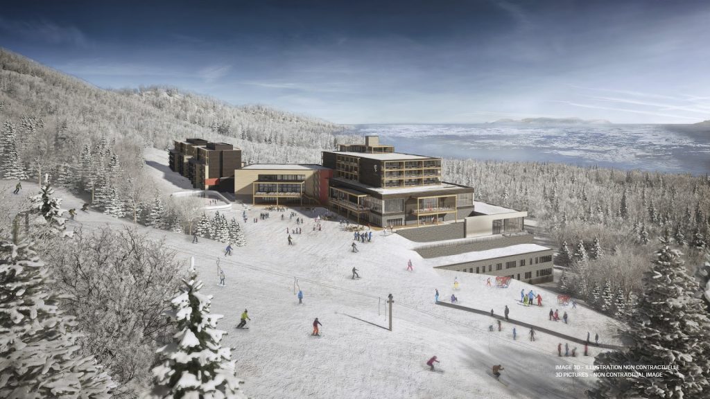
Quebec Charlevoix – CANADA
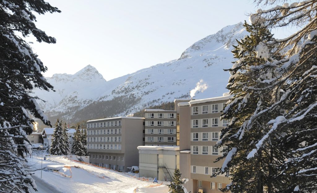
Saint-Moritz Roi Soleil – SWITZERLAND
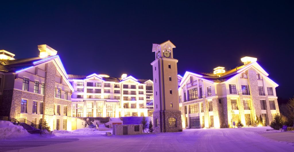
Yabuli – CHINA
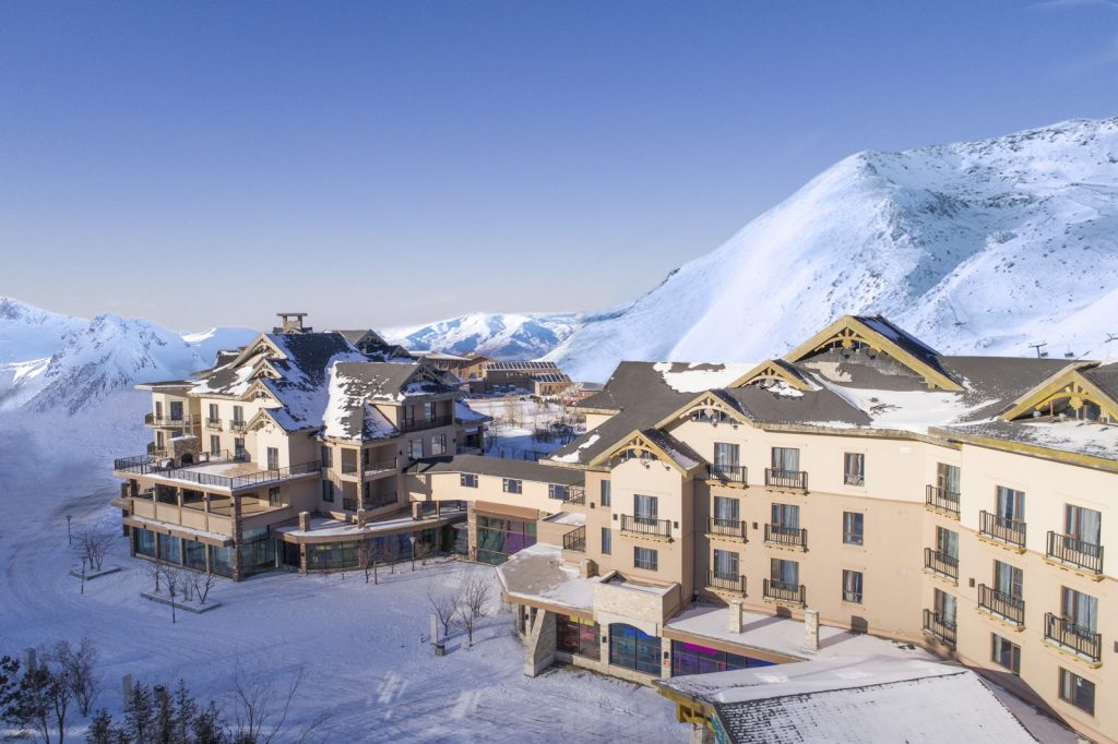
Beidahu – CHINA
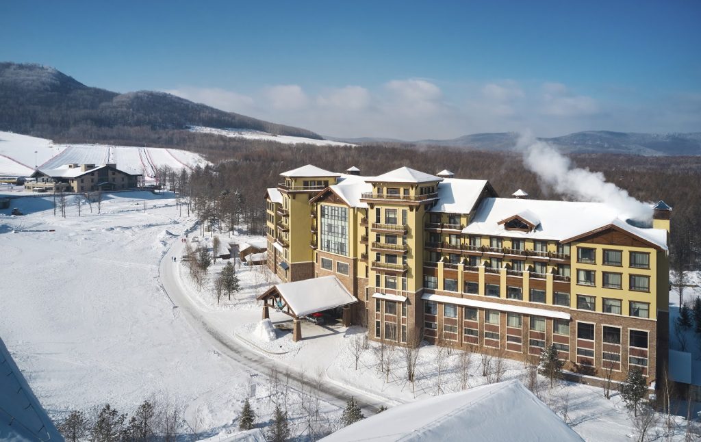
Changbaishan – CHINA

